Boundary and Site Files

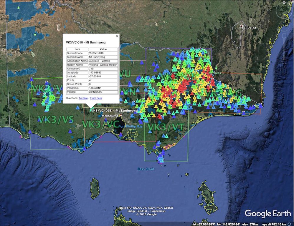
The data files below are supplied to assist SOTA , WWFF and SiOTA sites.
The data is supplied in a format that can be read by Garmin Basecamp or Google Earth to support planning and updating GPS with POI capabilities.
Other formats (CSV or RTE )are available to suit other devices.
Check a Location against the CAPAD Database and Matching routines.
Other Links of Interest;
- Parks Victoria Seasonal Road Closures
- Department of Environment, Land, Water and Planning, Victoria Forest Explorer
Acknowledgments and Disclaimer
Many people have assisted with providing base data and updates,
- Park data is from Collaborative Australian Protected Areas Database (CAPAD) 2020, Commonwealth of Australia 2020.
- SOTA data from SotaWatch
- Marc VK3OHM CAPAD Integration and Boundaries files
- Paul VK5PAS SACNPCPA and WWFF data
- Tony VK3VTH KRMNPA data
- Peter VK3PF various updates
- Andrew VK3ARR various updates
This site is the thoughts and work of (several) mad men. You are permitted to access this data for your personal and non-commercial use. Whilst we endeavour to ensure that all information provided is complete, accurate and up to date, this data is provided 'as is' and neither I nor any other party will accept any responsibility for any error or omission relating to this information nor will be held responsible for any injury or loss associated from the use of any information presented.
If you use any information from this site and bad things happen, then thats the way it goes. Don't go wandering into the bush based on this data, do your homework.
I welcome any information that will correct, update or enhance the current data. Please send details to ParksnPeaks support.


